Inman Valley's hidden corners: dairy farms, fossils and Glacier Rock
A slow loop through the green back country
A different Fleurieu
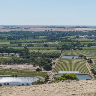
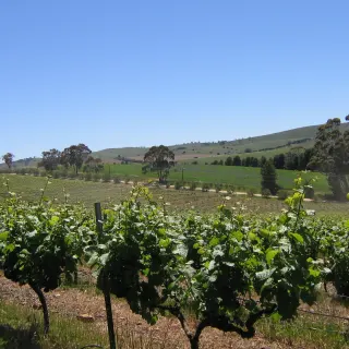
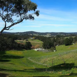
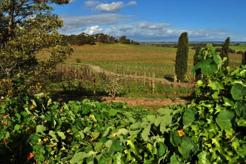
Most visitors to the Fleurieu stick to the coast - McLaren Vale, Victor Harbor, the south coast beaches. The Inman Valley sits behind all of that, in the wet green hills between Victor Harbor and Mount Compass, and it is the part of the peninsula least like the rest. The country is rolling and pasture-soft, the roads are narrow, the cows are everywhere, and you can drive for half an hour without seeing another car.
This guide is a slow loop for travellers who like a back road, a paddock gate, a bit of geology and a long lunch at a pub.
The geology stop
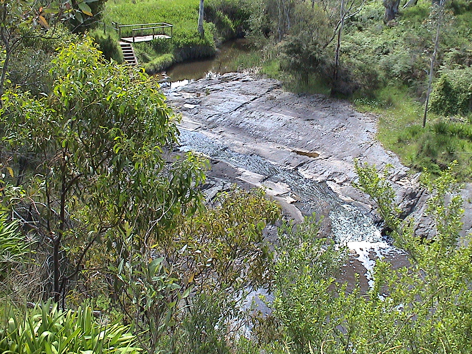
The headline of the valley is Glacier Rock - a slab of bedrock with striations carved into it by the Permian ice sheet roughly 290 million years ago. It is one of the few accessible glacial pavements in Australia, and the scratches in the rock are still clearly visible. It is a quiet, easy stop with an interpretive sign - the kind of place a curious nine-year-old will remember for years.
How to do the loop
Start and finish in Victor Harbor. The full loop is about 70 km of country roads with very little traffic. Allow a full unhurried day. Bring snacks for the in-between, because there are very few places to buy food once you leave the towns. Fuel up before you start.
When to go
Winter and early spring are when the valley is at its greenest and the swimming holes are full. Late autumn after the first rains is similarly beautiful, with the trees turning. Summer is dry and dusty; the back roads can feel scorched.
What to take
A thermos. A picnic. A camera. Closed shoes for short walks at Glacier Rock and the conservation parks. Cash for any roadside dairy gate sales. A printed map or downloaded offline map - phone reception in the valley is patchy and unreliable.
A note on dairy gate sales
The small dairies along the back roads sometimes sell milk, eggs and cheese from honesty boxes at the front gate. These are not always open and not always staffed - treat any find as a bonus rather than a reason to come.
Day 1
5 stops-
1Inman Valley
Glacier Rock (Selwyn Rock)
The headline stop. A short walk from the road lays you down at the edge of a 290-million-year-old glacial pavement, with parallel scratches carved by ice. Read the sign first, then look at the rock - the lines suddenly make sense. Allow 30 minutes.
-
2Inman Valley
Mount Billy Conservation Park
Take the short loop walk through the stringybark forest at Mount Billy. Quiet, shady, full of birds - and the ridge has long views back across the valley. Insider tip: late afternoon is best for the bird life.
-
3Inman Valley
Tooperang Trout Farm
Drive north to Tooperang Trout Farm - you can catch your own (no licence required), have it cleaned on the spot, and take it home for dinner. Kids love it. Allow an hour.
-
4Inman Valley
Mount Compass Tavern
Loop up to Mount Compass for a coffee or a late afternoon beer at the tavern. The crossroads stop on the way home - and a chance to top up the tank.
-
5Victor Harbor
Hindmarsh Falls
Finish back near Victor Harbor at Hindmarsh Falls - a short walk in to a small waterfall that runs best after winter rain. Quiet, almost always empty in the late afternoon.
On the map
More like this
 Story
Story
The ice age you can stand on
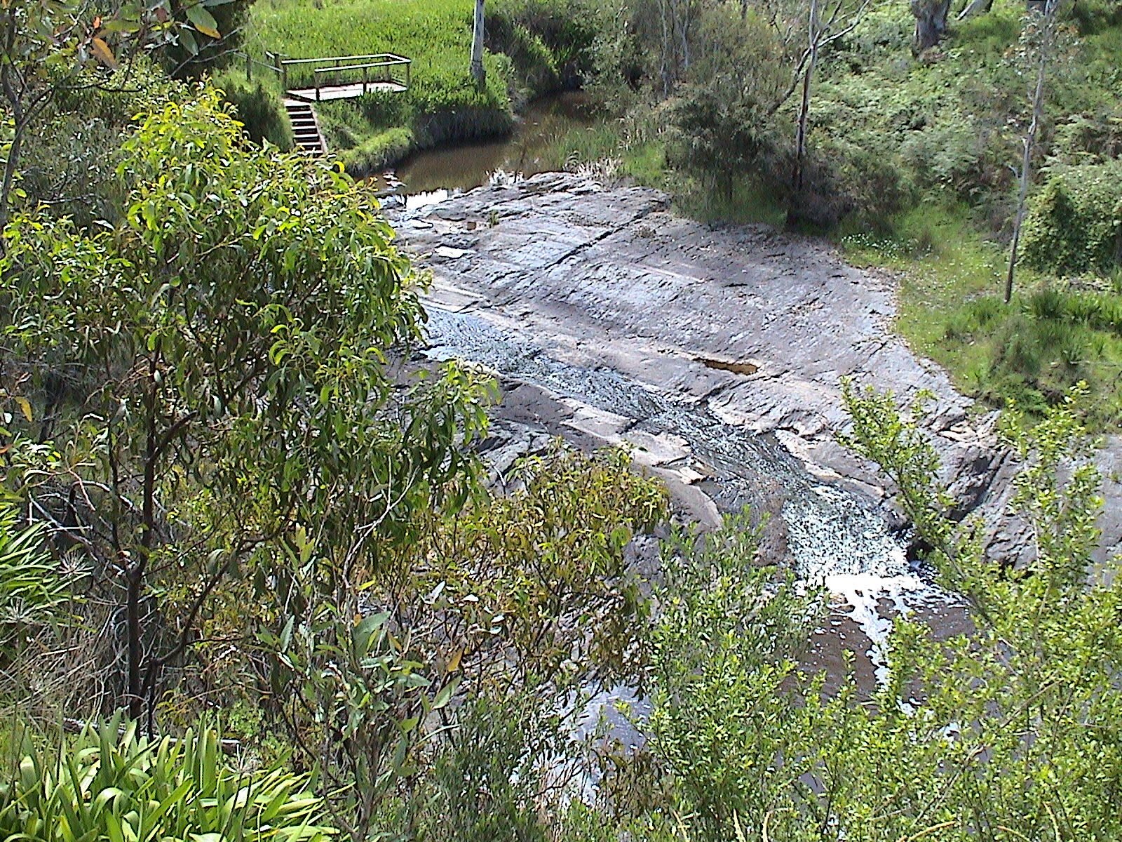
In the bed of the Inman River sits one of the most important rocks in Australia: a glacial pavement scraped smooth by an ice sheet 280 million years ago, and the first recorded evidence of ancient glaciation on the continent.
 Top 10
Top 10 Fleurieu lookouts
Ten free, public lookouts across the Fleurieu Peninsula - from the 97-metre granite dome of The Bluff to the quiet cliff edge above Horseshoe Bay.
 Top 10
Top 10 Fleurieu photo spots
Ten Fleurieu locations every photographer should put on a shot list - heritage jetties, ochre cliffs, granite domes, river bends and the singular Star of Greece silhouette.
 Story
Story
The Heysen Trail: 1,200km on foot
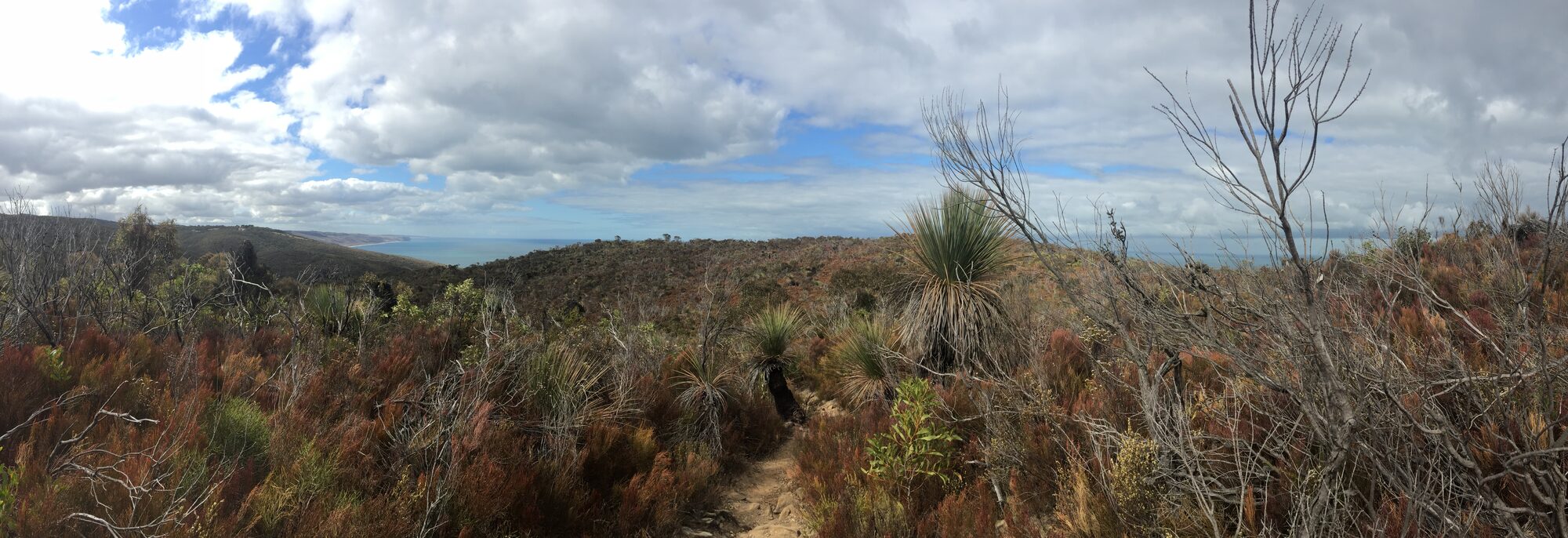
From the Cape Jervis ferry terminal to a remote gorge in the northern Flinders Ranges, the Heysen Trail is one of Australia's longest walking trails. The Fleurieu has its first hundred kilometres.
 Story
Story
The Fleurieu in July: almond blossom, whales and winter fires
Mid-winter is the Fleurieu Peninsula's quietest month and also, quietly, its best. Almond blossom at Willunga, southern right whales in Encounter Bay, cellar-door fires lit from lunchtime, waterfalls at full flow and almost nobody on the roads. Here is the July case.
Story
The Fleurieu in October
October on the Fleurieu is the overlap month - the final southern right whales of the season, wildflowers at full tilt, waterfalls still running, and beaches warming up before the crowds arrive. Here is how to use it.
Image credits
- Selwyn Rock (Glaciated pavement) , CC BY-SA 3.0 via Wikimedia Commons